Sustainable Braintree advocates for responsible land use, the protection of our town's green spaces and the promotion of local, organic gardening.
Community Garden
Sustainable Braintree manages the Perkins Park Community Garden. Please follow the link to find out more about the PPCG, its history, organic gardening or how you can get involved!
Natural Spaces
Some of Braintree's greatest treasures - our natural areas - area listed below.
*Learn more at the Town of Braintree’s Open Space Website which includes a great Trail Guide to many open space and conservation areas in town.*
Monatiquot River
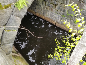
The Monatiquot River is a central feature in our town's history and also many of our natural spaces. There is a trail behind South Coast Bank near the Chateau Restaurant along the River. The Monatiquot supports Smelt and Herring species but the Herring cannot reach Great Pond Reservoir because of dams blocking fish passage.
We support the protection of natural spaces along the Monatiquot an advocated for the Town's acquisition/protection of the Middle Street Woodlands. Learn more about projects for public access to the river at the town website.
Cranberry Pond Conservation Area

Eutaw Ave Trail Head
Cranberry Pond is an area designated by the Commonwealth of Massachusetts as Critical Environmental Protection. The conservation land is a part of the Fore River Watershed, and the Cranberry Brook Sub Watershed, which feeds into the Cochato River, and the Richardi Reservoir. The area holds some of the best quaking bogs in Southeastern Massachusetts. The bogs hold the carnivorous pitcher plants and sundew. A number of state issued rare species also live in the area. The area has hiking and mountain biking trails.
Braintree Town Forest

Peach Street Trailhead
The Braintree Town Forest is also a part of the Cranberry Brook Watershed. The Forest has multiple trail heads with a parking lot on the Peach Street trail head. The forest has an amphitheater and multiple trails. The forest has an upland area and a lowland area with wetlands around Cranberry Brook. The trails have great interpretive signage which tells of the geology and ecology of the conservation land.
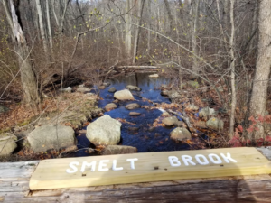
Pond Meadow Park and Smelt Brook
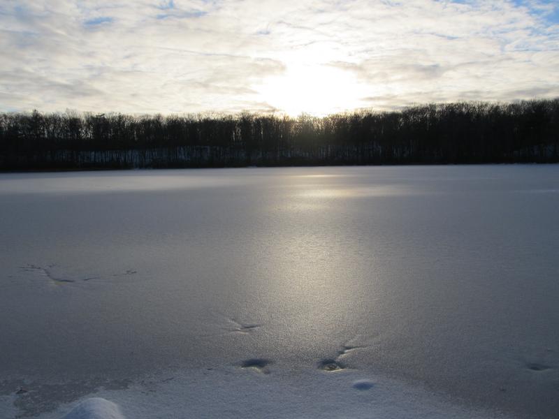
Pond Meadow Park is a 320 Acre Conservation Area in Braintree and part of Weymouth. The park holds a dual purpose as flood control for East Braintree and The Landing Business District. The Park holds picnic areas, hiking and mountain biking trails, a paved bicycle trail, docks and a non-motorboat launch. There are two full time Rangers and bathrooms at the Nature Center. The park offers summer nature programs for Braintree and Weymouth residents.
Smelt Brook, the main stream in the park is undergoing a daylighting project as a requirement of the MBTA Greenbush Line Environmental Mitigation and restoration study which we have supported.
Friends of Pond Meadow Park and Pond Meadow Park Commissioners have been working on an 1135 Army Corps of Engineers Feasibility Study for restoration of the brook's fish gate and perched culvert to improve fish passage and restore a historic park.

The Town Council and Community Preservation Commissions of Braintree and Weymouth approved funding for the 1135 study.
Learn more at www.smeltbrook.org
Eaton's Pond Conservation Land

Eaton's Pond Conservation Area has mountain bike and hiking trails along a stream and wetlands, pond as well as an old quarry.